 Ropeway and boats
Togendai
The north end
- Links to
- Hakone Ropeway
- Walk to gondola
- About 3 minutes
- Bus from Yumoto
- About 40 minutes
Guides
Language
EnglishCurrency
US dollar · $GetYourGuide uses the currency you choose.
Guide · The lake
A volcanic lake with shrines, an old imperial villa and Mount Fuji on its edges. Here is what you pass on the crossing, how the lake came to be and how it changes through the year.
Editorial team, hakonesightseeingcruise.comUpdated October 22, 2026read in 6 minutes59 sources
In short
Lake Ashi in Hakone fills part of a volcanic caldera in western Kanagawa, and the Hayakawa river drains it toward Odawara and the Pacific.1 The Hakone Tourist Association dates its birth precisely: 3100 years ago a steam explosion collapsed the northwest flank of Mount Kamiyama, and the rock avalanche blocked the outlet of the valley, damming the water that became the lake.2
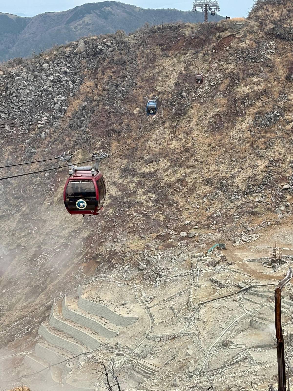
The scar of that collapse is still there. It is Owakudani, the steaming volcanic valley you cross on the Hakone Ropeway before you ever reach the shore.6 Kamiyama itself is the highest peak in Hakone, which is why you can pick it out from almost anywhere on the water.7 Knowing this changes how the lake looks: the forested hills around you are the rim and the cones of one volcano.
The Japan Meteorological Agency still treats Hakoneyama as an active volcano. Its forecast for the mountain currently stands at alert level 1, the lowest of five, with the reminder that it is an active volcano.89 None of that stops the boats, but it explains the sulfur smell that drifts down from Owakudani on some days.
On the crossing
Departure
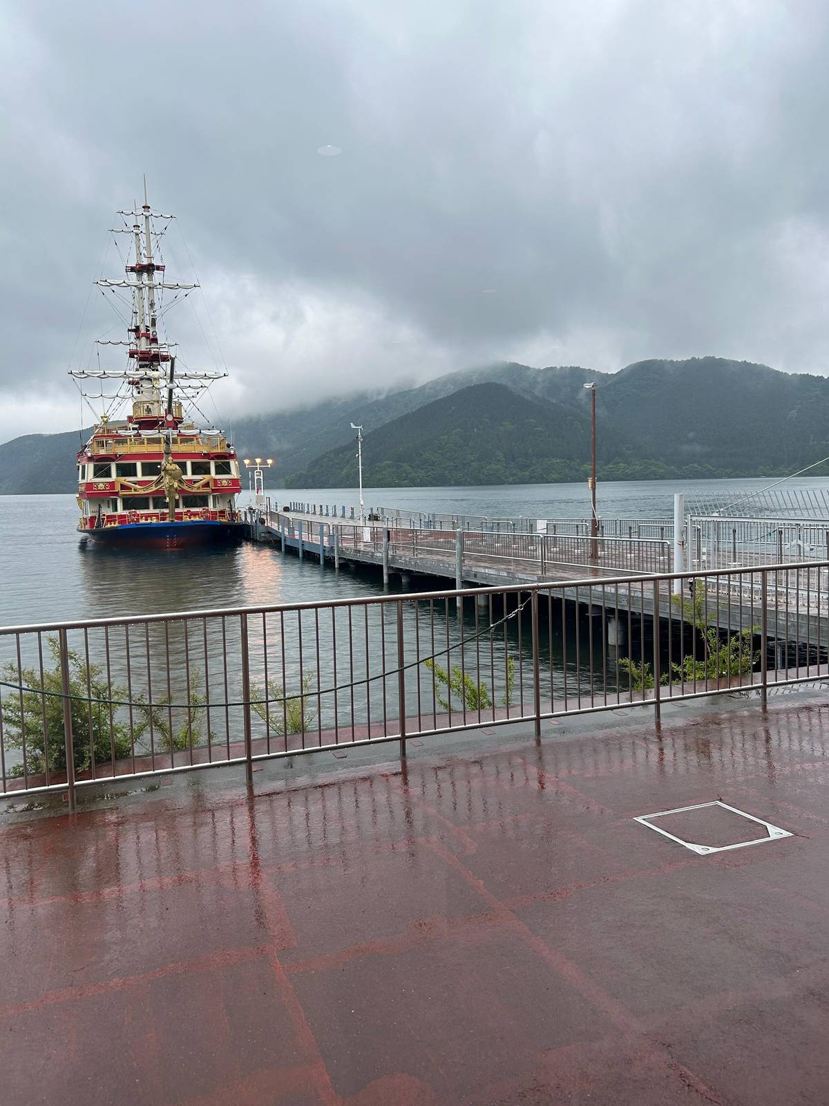
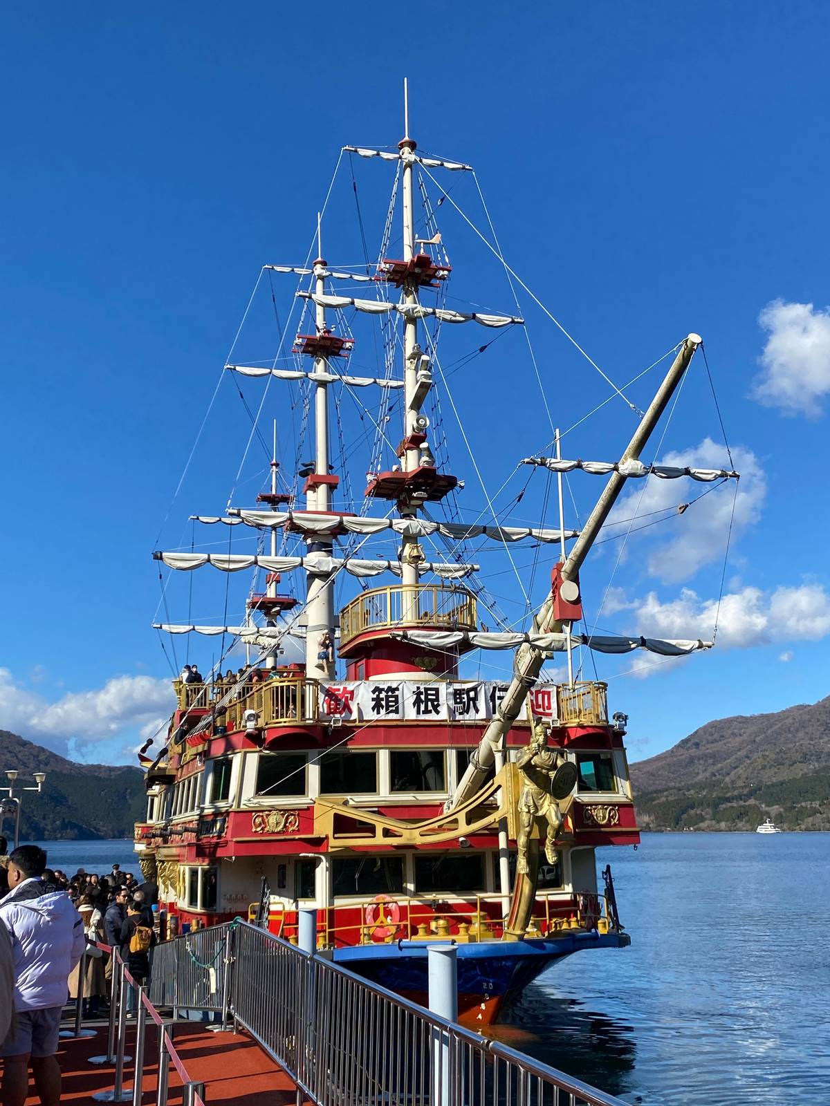
The port shares a building with the ropeway.10
On the way
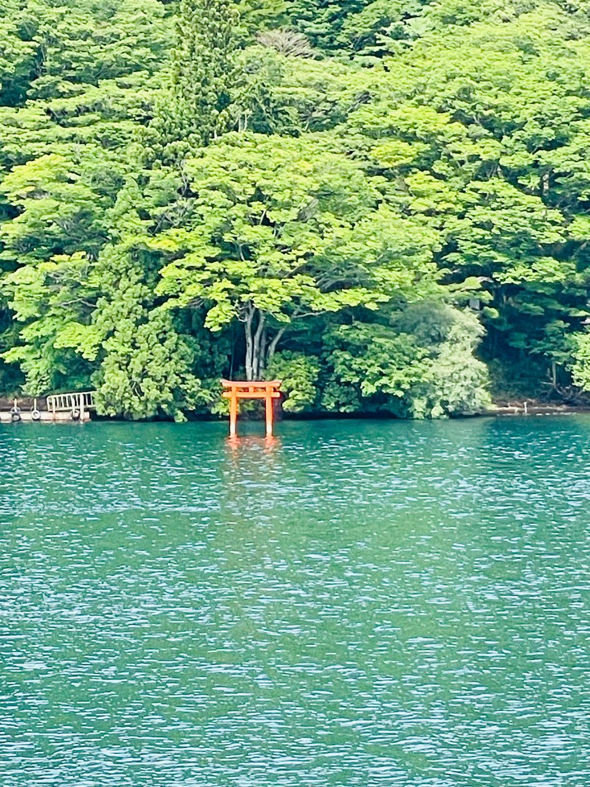
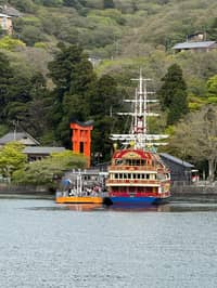
Kuzuryu Shrine and the peace torii show on the left.3
Toward the bay
On clear days both appear in one view.11
Arrival
The port nearest Hakone Shrine.12
Onward
The southern port, next to Onshi Hakone Park.13
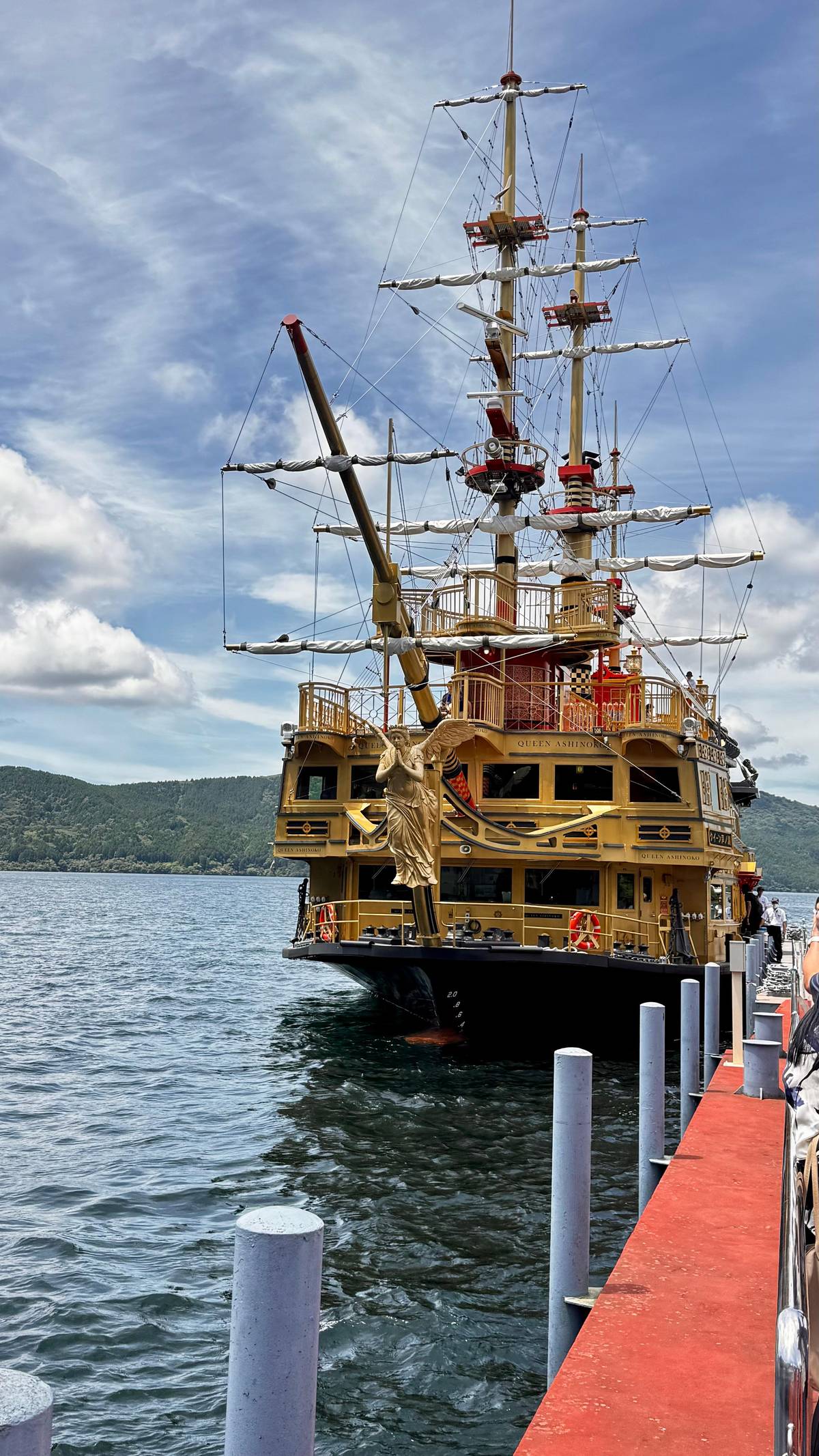
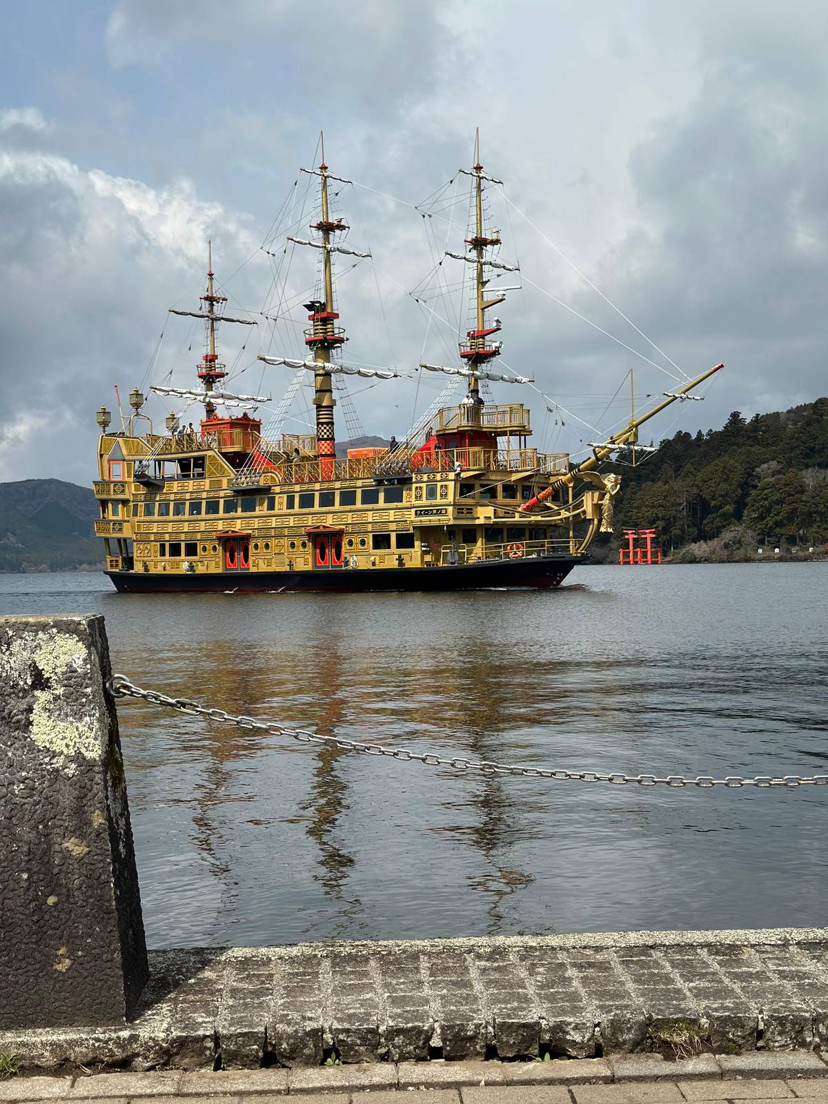
Most crossings run between Togendai at the north end and the southern bay. Leaving Togendai, the western shore is wooded and quiet, and a little further on Kuzuryu Shrine and the peace torii of Hakone Shrine appear on the left side of the ship, according to Odakyu Hakone's editors who rode the Victory.3 Have your camera ready on that side before the turn into the bay.
The torii stands in the water at the foot of the shrine woods. It was built in 1952 to celebrate Japan regaining its independence with the peace treaty, and it is the only torii of Hakone Shrine built in the ryobu style.1415 Our page on Hakone Shrine covers the shrine, the steps and the dragon legend in detail.
The ships call at Moto-Hakone-ko, the port nearest the shrine, and Hakone-machi-ko on the south shore.1613 Between them lies a wooded headland that is Onshi Hakone Park, an imperial villa and garden built in 1886.17 On the east side the Hakone-en resort holds the base of the Komagatake ropeway, the second ropeway that meets the lake.18
Month by month
The lake in facts
| Topic | What the sources say | Source |
|---|---|---|
| Origin | Collapse of Kamiyama, 3100 years ago | Tourist association |
| Setting | Inside the Hakone caldera | Tourist association |
| Outflow | Hayakawa river toward Odawara | Tourist association |
| Volcano status | Alert level 1 of 5 | Weather agency |
| Fishing season | Opens 1 March | Hakone Navi |
| Fall colors | Early October to early December | Hakone Navi |
From the Hakone Tourist Association, the Japan Meteorological Agency and Odakyu Hakone's Hakone Navi.21891920
The shores
Ropeway and boatsThe north end
 Second ropeway
The east shore
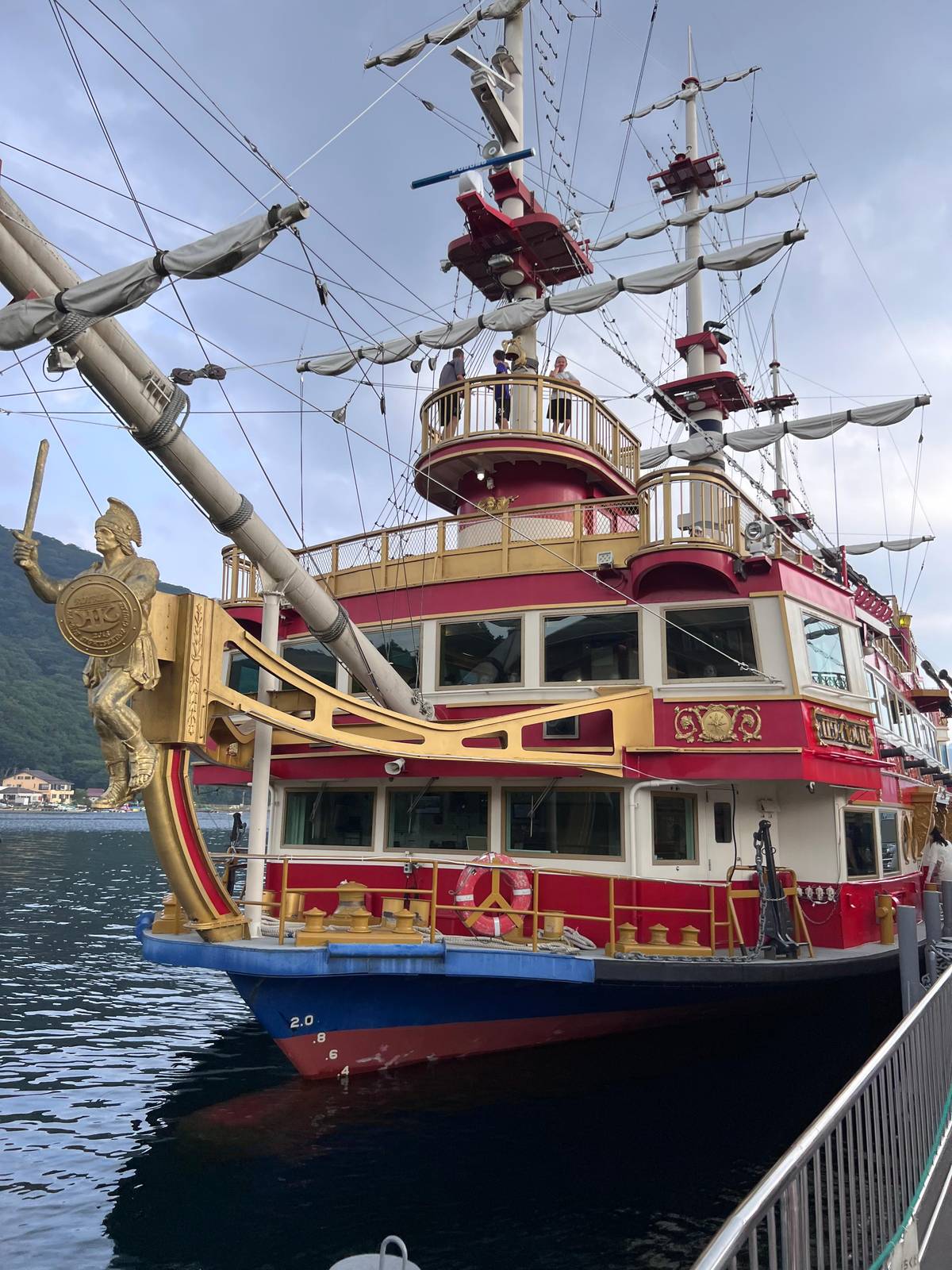 Shrine and torii
The south bay
Decision helper
Match your interest to a shore
The peace torii stands in the lake below Hakone Shrine.21
Odakyu Hakone names Motohakone and Hakonemachi-ko for Fuji views.22
The ropeway entrance is about 3 minutes from the ships.10
A former imperial villa garden, free to enter.23
The Komagatake ropeway climbs from the shore there.24
3100 years ago, a steam explosion caused the northwest flank of the mountain to collapse, and a rock avalanche created Lake Ashinoko by blocking the outlet of water from the valley.
The view people come for is Mount Fuji rising above the far end of the lake. Odakyu Hakone names Motohakone and Hakonemachi-ko as places with fantastic views of the mountain.22 On the water, its editors point out that on the run from Moto-Hakone Port to Togendai Port you can see both the Heiwa no Torii and Mt Fuji.4
Clear mornings matter. The same editors suggest visiting early, when the still surface can mirror the mountain, and say that in winter the air is clear enough to give a wider view than you might imagine.2526 The ropeway operator adds that in summer the mountain is often hidden by clouds as the day warms, so morning is the best time.27
None of this is a promise. Cloud can cover Fuji for a whole day, and tours that visit the lake say plainly that visibility cannot be guaranteed. Our page on seeing Mount Fuji from Lake Ashi sets out the odds by month with the rain record for Hakone.
Map
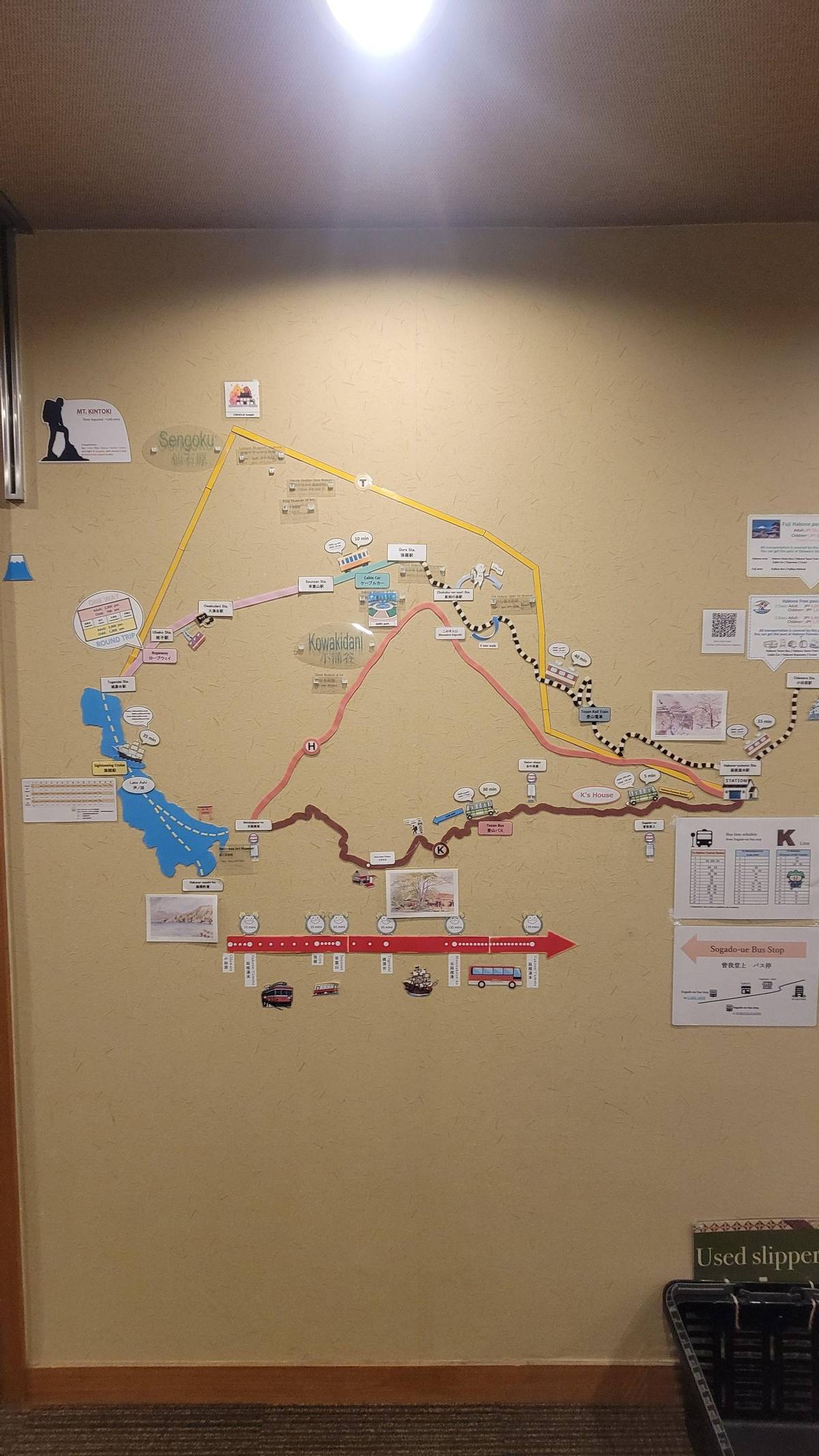
The lake with the cruise ports and the Komagatake ropeway, the shrine shore at Moto-Hakone up close, then the whole loop from Odawara over Owakudani to the water.
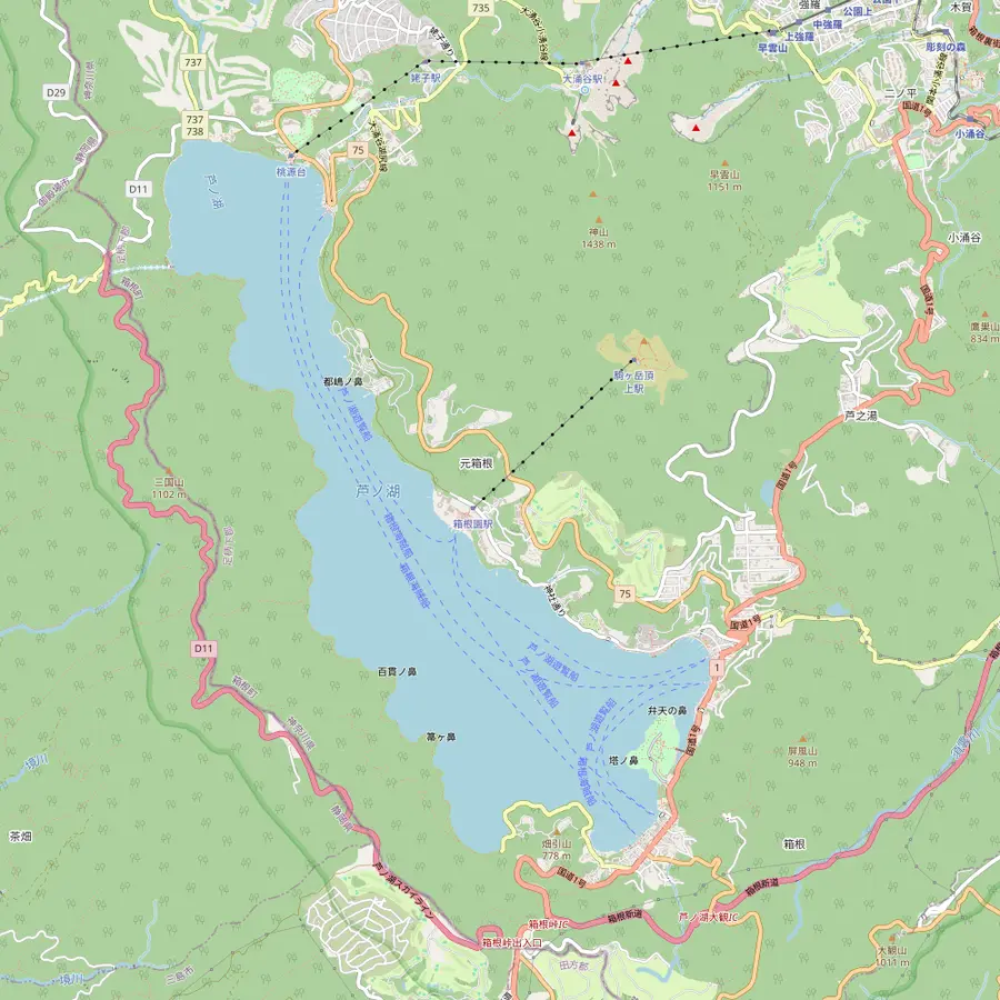 1Togendai port2Kuzuryu Shrine Hongu3Hakone-en4Komagatake summit5Moto-Hakone-ko6Hakone-machi-ko
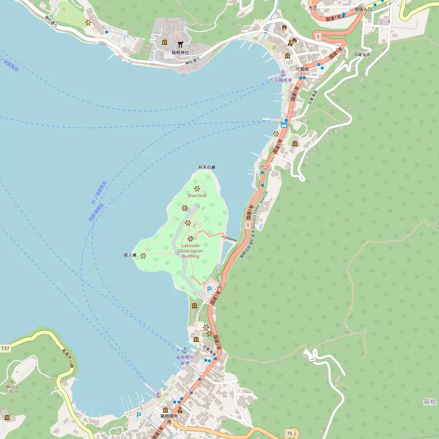 7Hakone Shrine8Heiwa no Torii9Onshi Hakone Park10Hakone Checkpoint
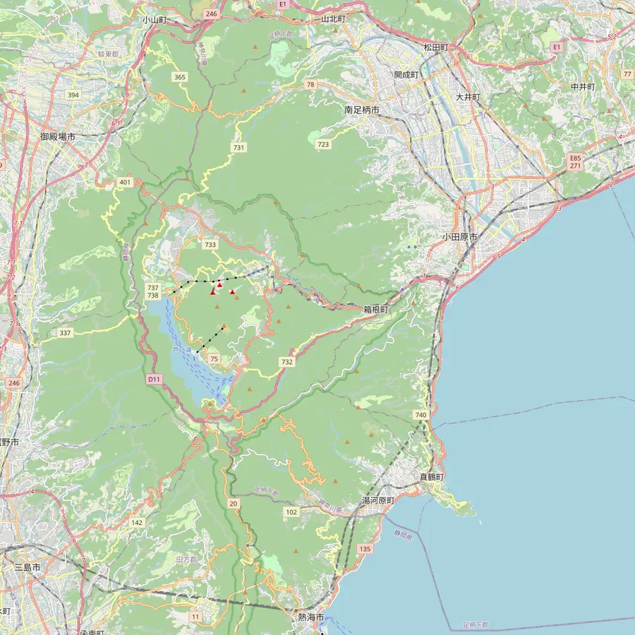 11Odawara12Hakone-Yumoto13Gora14Sounzan15Owakudani16Ubako
The northern port: cruise tickets on floor B2F, and the Hakone Ropeway about a 3-minute walk away in the same building.2810
In Google Maps ↗On the lakeshore with no bus stop nearby, about 30 minutes on foot from the Togendai bus stop; the forest around it charges admission.29
In Google Maps ↗Lakeside base station of the Komagatake ropeway.24
In Google Maps ↗Top of the 1,800 m Komagatake ropeway, 7 minutes up from Hakone-en.24
In Google Maps ↗The port nearest Hakone Shrine, with a ticket counter, a waiting area and a shop.1612
In Google Maps ↗The southern port, a short walk from Onshi Hakone Park and the Hakone Checkpoint.13
In Google Maps ↗A shrine that dates back to 757; the main approach climbs 90 stone steps.3031
In Google Maps ↗The gate standing in the lake, built in 1952 and the only ryobu-style torii of the shrine.1415
In Google Maps ↗An imperial villa and garden built in 1886, now a public park over the lake.1723
In Google Maps ↗A sight listed beside Hakone-machi-ko, the southern port.13
In Google Maps ↗Where the Freepass from Odawara starts, and where the site tour boards its train back to Tokyo.32
In Google Maps ↗Start of the Tozan Train to Gora; the T Line bus reaches Togendai in about 40 minutes.3334
In Google Maps ↗Top of the Tozan Train and foot of the cable car to Sounzan.35
In Google Maps ↗Cable car to ropeway in about 2 minutes on foot, in one building.36
In Google Maps ↗Change gondolas here; on the way up from Sounzan the line crosses the valley about 130 m above the ground.3738
In Google Maps ↗Between Owakudani and here is one of the stretches where Mt. Fuji shows on clear days.39
In Google Maps ↗Checklist
Price calculator
Compare a few tours with Lake Ashi for your group
Total from$306
per participant from $153
Check availabilityfree cancellationEach total multiplies a listing's lowest GetYourGuide price by the number of travelers and converts it at today's ECB rate; the booking page shows the binding figure for your date.
Video
The player stays dark and sends nothing to YouTube until you start it.
The headland between the two southern ports is the most rewarding stop on foot. The Hakone Tourist Association describes the park as a former summer villa of the imperial family, used until the 1920s and now free to enter.23 From the balcony of its lakeside building you look across the water toward Mount Fuji on clear days.
Kanagawa counts the view from the park among its 50 picturesque sights, according to Odakyu Hakone.40 The H Line bus from Hakone-Yumoto stops at Onshi-koen-mae after about 40 minutes, but most visitors simply walk there from Hakone-machi-ko or Moto-Hakone-ko.41
Along the southern shore runs a stretch of the Old Tokaido road, where you can walk among trees around 300 years old.42 If you have an hour between boats, a loop from Moto-Hakone-ko through the shrine woods and back along the shore is an easy way to see the lake from land as well as from the deck.
Lake Ashi in autumn is the season most visitors ask about. Odakyu Hakone gives early October to early December for the fall colors and early September to early November for the silver grass of Sengokuhara, so the slopes above the lake turn through several shades in turn.2043
Spring starts early: the cherry trees flower between late March and early April, and the azalea season carries on to the end of May.44 The fishing season on the lake opens on 1 March, and you will see anglers in small boats from the ship's rail.19 In winter there are snowy days, and the boats run a winter timetable from 1 December to 19 March.4546
Summer belongs to festivals. The Lake Festival takes place on 31 July, and during the Ashinoko Summer Festival Week as many as 18,500 fireworks rise over the water.4748 Lake Ashi and Owakudani sit high, and Odakyu Hakone says they are usually about 3 to 4 degrees cooler than Hakone-Yumoto, so bring a layer even in July.49
Visitors prone to seasickness can relax. Odakyu Hakone says the lake is calm and the ships are large, so there is almost no rocking.50 The crossing is short, and the open decks on top give you room to move from side to side as the views change.
Weather is the real variable. Rain does not stop the ships, but heavy fog or strong wind can change the destination or cancel a sailing.5152 On a foggy day the lake becomes a grey, quiet place, beautiful in its own way, while the mountain views simply disappear.
Taking a boat across is also a way around the roads. The Hakone Tourist Association notes that a boat lets you bypass the traffic that clogs Hakone on weekends.53 On a busy holiday that can make the water the fastest route between the ropeway in the north and the shrine in the south.
The crossing shows you the lake at water level, but some of the best views of it come from the heights around it. The Hakone Ropeway, run by the same company as the boats, is one: taken toward Togendai in the early evening, it looks down on the glittering surface of Lake Ashi.54 Halfway between Owakudani and Togendai, Odakyu Hakone's editors describe a panorama that takes in both Mt Fuji and the lake.55
On the east shore, the Komagatake ropeway climbs from Hakone-en to the summit in 7 minutes, and its operator lists Fuji and bays on both coasts among the views from the top.2456 Our page on the Komagatake ropeway explains the summit deck and the shrine that stands up there.
Two more viewpoints sit within reach of the southern bay. Mount Taikanzan, at 1,015 m, looks over the lake and Fuji from the Hakone Turnpike side.57 Closer to the water, the Narukawa Art Museum near Moto-Hakone frames the lake through an observation window 50 meters long, which makes a dry alternative on a day when the decks are wet.58
Your Hakone day
Pick a date, meet in Ginza or Shinjuku, and cancel free up to 24 hours before.
By a volcanic collapse. 3100 years ago part of Mount Kamiyama collapsed and the debris blocked the valley, damming the lake.2
It lies in a caldera. The Hakone Tourist Association describes it as a lake inside the caldera of Hakone.1
In the water by Hakone Shrine. It stands in Lake Ashi below the shrine, near Moto-Hakone-ko.2112
Early October to early December. Odakyu Hakone gives that window for fall colors across Hakone.20
Yes, in summer. During the Ashinoko Summer Festival Week up to 18,500 fireworks light the sky over the lake.48
Usually a little. Lake Ashi and Owakudani are about 3 to 4 degrees lower than Hakone-Yumoto.49
Yes. The former imperial villa grounds are now a free public park.23
Sources
Keep reading